
LiDAR
Contact
For more information about this program, contact Gina by email or phone: (831) 264-5098
Provide Feedback
Leave a Public Comment
LiDAR stands for Light Detection and Ranging.
LiDAR is a form of remote sensing that produces very accurate vertical measurement, suitable for developing digital elevation models (DEMs) and for enhancing the resolution and accuracy of mapping technology.
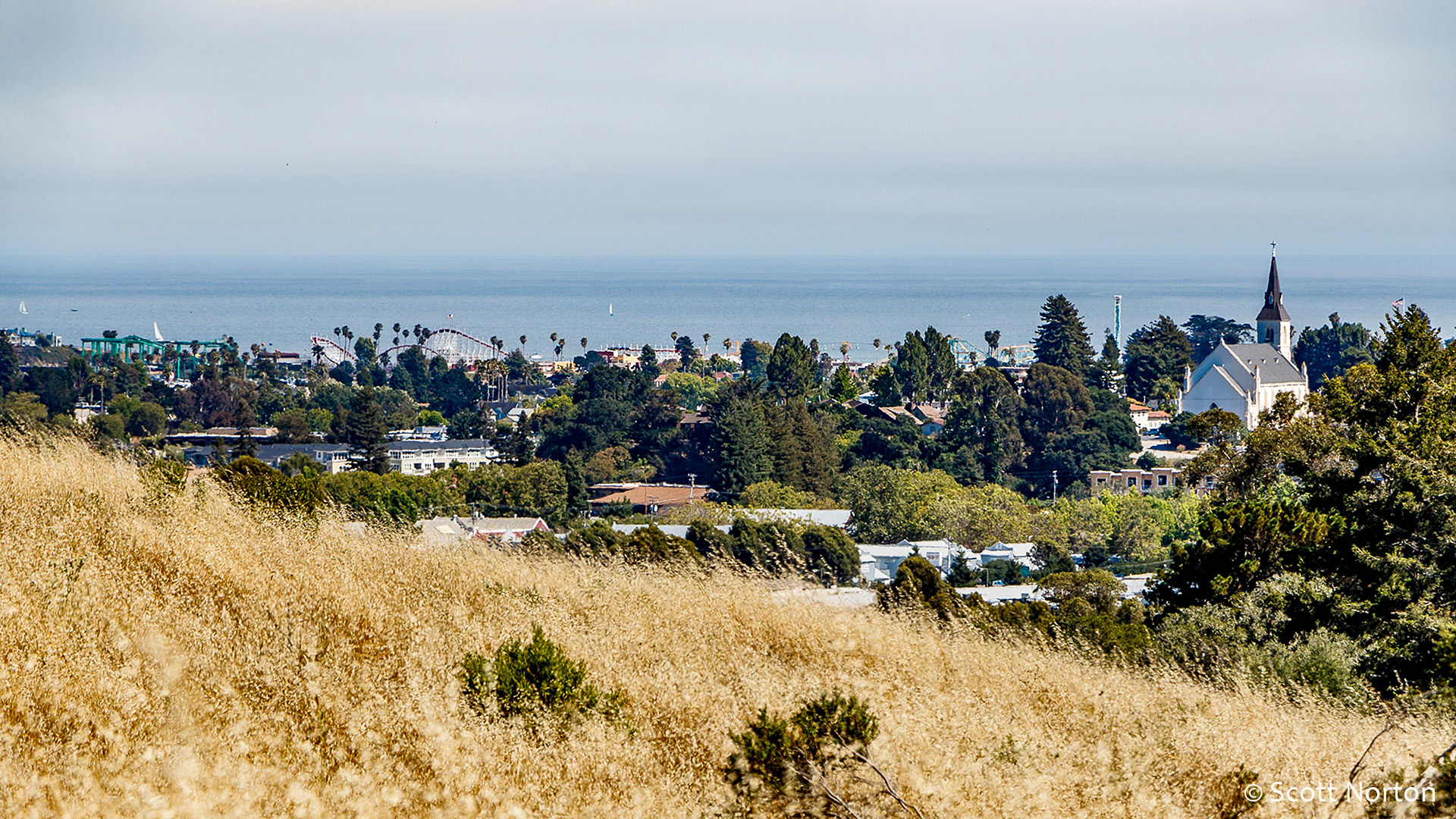
AMBAG, through the CCJDC, is the recipient of a USGS grant designed to capture LiDAR for much of the three county (Monterey, San Benito, and Santa Cruz) region. Digital Mapping (DMI) was selected as the vendor after a rigorous review by the CCJDC’s Orthoimagery Subcommittee.
This project is funded through an American Reinvestment and Recovery Act (ARRA) of 2009, grant awarded by the US Geological Survey (USGS). The Project will be administered by AMBAG in consultation with the USGS staff and sub-committee made up of the CCJDC members. The consultant team will directly report to the AMBAG staff. However, several collaborative agencies of the region will be actively engaged during the project, including but not limited to the quality check/assurance activities. The final product must pass USGS quality control standards.
This project was developed in consultation and collaboration with region’s cities and counties, as well as several state and federal agencies. AMBAG staff and other partnering agencies possess significant amount of technical experience from previous and ongoing GIS/data management projects. Their in-kind support for this project includes technical assistance for project development, management, and quality control and assurances.